|
search place name
|
||
Hella (Burkina Faso)Hella is a town in Burkina Faso. An overview map of the region around Hella is displayed below.
regional and 3d topo map of Hella, Burkina Faso ::

Hella airports ::
The nearest airport is BOY - Bobo-dioulasso Bobo Dioulasso, located 139.4 km north west of Hella.
Other airports nearby include OUA - Ouagadougou (283.2 km north east), Nearby towns ::
Diébiou (1.9km south) //
Bohira (2.6km south west) //
Bélinkora (4.1km south east) //
Nonkéména (5.2km north east) //
Baména (5.5km west) //
Nienpira (5.9km south) //
Sébéra (5.9km north) //
Youmpoura (6.6km north west) //
Baro (6.6km north east) //
Nakamhoura (7.3km west) //
Lantao (7.5km east) //
Kaniana (7.6km south) //
Koulouloura (7.8km south west) //
Koulinkouna (7.8km south west) //
Bouroum Bouroum (8.3km north east) //
Manguinao (8.2km north east) //
Tohévéra (8.2km south east) //
Bounfara (9.2km north west) //
Dékar (9.2km south east) //
[all distances 'as the bird flies' and approximate] 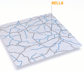 Places with similar names to Hella, Burkina Faso ::
Disclaimer :: Information on this page comes without warranty of any kind |
||
|
Where is Hella? Elevation and coordinates ::
Latitude (lat): 10°28'0"N Longitude (lon): 3°16'0"W
Elevation (approx.): 306m (map arrows pan, magnifying glasses zoom) |
||
|
Visiting Hella? Hotel/Accommodation ::
Book a hotel in Hella Travel Guide ::
rental cars ::
car rental offers GPS waypoint ::
download a GPX waypoint (PoI) of Hella for your GPS receiver
|
||