|
search place name
|
||
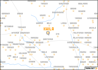
Kwila (Oubritenga, Burkina Faso)Kwila is a town in the Oubritenga region of Burkina Faso. An overview map of the region around Kwila is displayed below.
regional and 3d topo map of Kwila, Burkina Faso ::
Kwila airports ::
The nearest airport is OUA - Ouagadougou, located 51.2 km south of Kwila.
Nearby towns ::
Garitenga (2.5km south) //
Gyé (3.3km east) //
Bélé (3.6km north) //
Nidrihida (3.8km south) //
Nangodi (4.0km south west) //
Bénogo (4.0km south west) //
Doaren (5.1km north west) //
Imkouka (5.2km south west) //
Nangodi (5.7km west) //
Bako (6.6km south west) //
Linédi (6.6km north east) //
Likinkelsé (6.7km south west) //
Douré (7.0km north) //
Kouloumasatenga (7.4km north) //
Ipala (7.7km south) //
Laogo (7.7km south) //
Youbaga (8.1km south west) //
Siguinvousé (8.4km north east) //
Tousoukou (9.1km south west) //
Sotenga (9.9km south west) //
Dyala (10.4km south west) //
[all distances 'as the bird flies' and approximate] 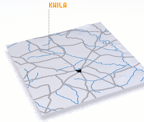 Places with similar names to Kwila, Burkina Faso ::
Disclaimer :: Information on this page comes without warranty of any kind |
||
|
Where is Kwila? Elevation and coordinates ::
Latitude (lat): 12°48'2"N Longitude (lon): 1°38'2"W
Elevation (approx.): 327m (map arrows pan, magnifying glasses zoom) |
||
|
Visiting Kwila? Hotel/Accommodation ::
Book a hotel in Kwila Travel Guide ::
rental cars ::
car rental offers GPS waypoint ::
download a GPX waypoint (PoI) of Kwila for your GPS receiver
|
||