|
search place name
|
||
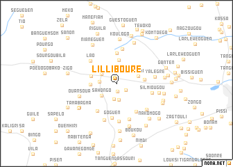
Lillibouré (Kadiogo, Burkina Faso)Lillibouré is a town in the Kadiogo region of Burkina Faso. An overview map of the region around Lillibouré is displayed below.
regional and 3d topo map of Lillibouré, Burkina Faso ::
Lillibouré airports ::
The nearest airport is OUA - Ouagadougou, located 22.0 km east of Lillibouré.
Nearby towns ::
Yipala (1.3km south) //
Gouma (1.8km south east) //
Doundoulma (2.5km north west) //
Yorguen (2.6km south) //
Zanguendiessé (2.6km south) //
Nabitenga (2.7km west) //
Toéguen (2.8km north west) //
Koaken (3.0km north east) //
Sahongo (3.0km south west) //
Ouidi (3.6km east) //
Gonsbilen (3.8km north) //
Boulsen (4.1km west) //
Tanglongo (4.2km west) //
Zékounga (4.4km east) //
Gonsen (4.9km north) //
Séguéden (5.3km south west) //
Tinsouka (5.5km south east) //
Gonskassenga (5.6km north) //
Lao (5.5km north west) //
Goguen (5.6km south) //
Silmiougou (5.8km east) //
Saben (6.1km south) //
Samben (6.1km south) //
Douaguen (6.1km south) //
Yalégré (6.2km east) //
Silmi Nabayiri (6.3km south east) //
Ouansoua (6.2km west) //
Silmiougou (6.8km east) //
Koulogo (7.1km north) //
[all distances 'as the bird flies' and approximate] 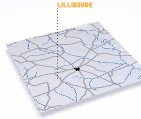 Places with similar names to Lillibouré, Burkina Faso ::
// La Liboria (PA)
// La Albuera (ES)
// La Lobera (ES)
// La Lobera (ES)
// Lālbāria (BD)
// Lilbouré (BF)
// Lilbouré (BF)
// Lilbouré (BF)
// Lilbouré (BF)
// Lilebouré (BF)
Disclaimer :: Information on this page comes without warranty of any kind |
||
|
Where is Lillibouré? Elevation and coordinates ::
Latitude (lat): 12°23'6"N Longitude (lon): 1°42'45"W
Elevation (approx.): 327m (map arrows pan, magnifying glasses zoom) |
||
|
Visiting Lillibouré? Hotel/Accommodation ::
Book a hotel in Lillibouré Travel Guide ::
rental cars ::
car rental offers GPS waypoint ::
download a GPX waypoint (PoI) of Lillibouré for your GPS receiver
|
||