|
search place name
|
||
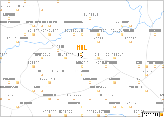
Mal (Burkina Faso)Mal is a town in Burkina Faso. An overview map of the region around Mal is displayed below.
regional and 3d topo map of Mal, Burkina Faso ::
Mal airports ::
The nearest airport is BOY - Bobo-dioulasso Bobo Dioulasso, located 196.4 km north west of Mal.
Nearby towns ::
Dédonia (1.9km south) //
Diémi (3.7km east) //
Bountara (3.7km west) //
Souroubè (3.7km south) //
Kanba (5.2km north east) //
Bebda (5.6km north) //
Aminbiri (5.8km west) //
Béboula (5.8km west) //
Boussoulbi (5.9km north) //
Konblétéoun (5.8km east) //
Konkéra (5.9km south) //
Dissétéon (6.7km north east) //
Tiopolo (6.6km south west) //
Domatéoun (7.3km east) //
Kankoumana (7.6km north) //
Balinséra (8.3km south east) //
Konkouéra (9.2km north west) //
Koudio (9.2km south east) //
Boulin Kiéra (9.2km south west) //
Bielméra (10.4km north west) //
[all distances 'as the bird flies' and approximate] 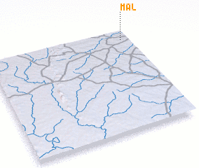 Places with similar names to Mal, Burkina Faso ::
Disclaimer :: Information on this page comes without warranty of any kind |
||
|
Where is Mal? Elevation and coordinates ::
Latitude (lat): 9°55'0"N Longitude (lon): 3°3'0"W
Elevation (approx.): 295m (map arrows pan, magnifying glasses zoom) |
||
|
Visiting Mal? Hotel/Accommodation ::
Book a hotel in Mal Travel Guide ::
rental cars ::
car rental offers GPS waypoint ::
download a GPX waypoint (PoI) of Mal for your GPS receiver
|
||