|
search place name
|
||
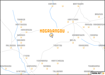
Mogadangou (Burkina Faso)Mogadangou is a town in Burkina Faso. An overview map of the region around Mogadangou is displayed below.
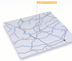
regional and 3d topo map of Mogadangou, Burkina Faso ::
Mogadangou airports ::
The nearest airport is NIM - Niamey Diori Hamani, located 140.7 km north east of Mogadangou.
Nearby towns ::
 Places with similar names to Mogadangou, Burkina Faso ::
// Makawtaung (MM)
// Mauktaung (MM)
// Mawk-tawng (MM)
// Mi Gahtawng (MM)
// Mu-gahtawng (MM)
// Mugahtawng (MM)
// Mactang (PH)
// Mactang (PH)
// Magading (PH)
// Magduñgao (PH)
Disclaimer :: Information on this page comes without warranty of any kind |
||
|
Where is Mogadangou? Elevation and coordinates ::
Latitude (lat): 12°26'0"N Longitude (lon): 1°27'0"E
Elevation (approx.): 277m (map arrows pan, magnifying glasses zoom) |
||
|
Visiting Mogadangou? Hotel/Accommodation ::
Book a hotel in Mogadangou Travel Guide ::
rental cars ::
car rental offers GPS waypoint ::
download a GPX waypoint (PoI) of Mogadangou for your GPS receiver
|
||