|
search place name
|
||
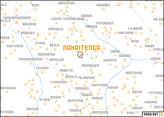
Nahaitenga (Kadiogo, Burkina Faso)Nahaitenga is a town in the Kadiogo region of Burkina Faso. An overview map of the region around Nahaitenga is displayed below.
regional and 3d topo map of Nahaitenga, Burkina Faso ::
Nahaitenga airports ::
The nearest airport is OUA - Ouagadougou, located 19.2 km north east of Nahaitenga.
Nearby towns ::
Gobi (0.9km west) //
Samben (1.4km north east) //
Boulbi (1.9km north) //
Vagogo (2.0km north west) //
Nito (2.1km east) //
Bagtogodo (2.8km north east) //
Silmissin (3.0km north east) //
Pamnoguen (3.1km south east) //
Tinfangué (3.2km east) //
Zamnogo (3.5km north east) //
Pamno Ouidi (3.9km south east) //
Kogonoguen (4.0km north) //
Honsbaogo (4.3km north) //
Dawanégomdé (4.3km west) //
Bassiyam (4.8km east) //
Nabayiri (5.0km south west) //
Nakomogo (5.3km north) //
Talamenga (5.3km south) //
Jourès Ouidi (5.4km south east) //
Ropala (5.6km south west) //
Kéryaoguen (5.5km north east) //
Tangséga (5.8km south) //
Dayoubsi (5.8km north west) //
Gonsé (5.8km south east) //
Banguéma (5.8km south west) //
Komsilga (5.8km west) //
Konguen (6.1km north west) //
Zéguédessé (6.2km north) //
Nanogo (6.3km south) //
[all distances 'as the bird flies' and approximate] 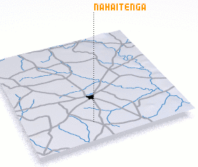 Places with similar names to Nahaitenga, Burkina Faso ::
// Naeha-dong (KP)
// Naeho-dong (KP)
// Noha-dong (KP)
// Noha-dong (KP)
// Noha-dong (KP)
// Noha-dong (KP)
// Nhi Duong (VN)
// Nhue Ðông (VN)
Disclaimer :: Information on this page comes without warranty of any kind |
||
|
Where is Nahaitenga? Elevation and coordinates ::
Latitude (lat): 12°11'36"N Longitude (lon): 1°34'52"W
Elevation (approx.): 323m (map arrows pan, magnifying glasses zoom) |
||
|
Visiting Nahaitenga? Hotel/Accommodation ::
Book a hotel in Nahaitenga Travel Guide ::
rental cars ::
car rental offers GPS waypoint ::
download a GPX waypoint (PoI) of Nahaitenga for your GPS receiver
|
||