|
search place name
|
||
Nambèrya (Burkina Faso)Nambèrya is a town in Burkina Faso. An overview map of the region around Nambèrya is displayed below.
regional and 3d topo map of Nambèrya, Burkina Faso ::

Nambèrya airports ::
The nearest airport is OUA - Ouagadougou, located 104.4 km south east of Nambèrya.
Other airports nearby include MZI - Mopti Ambodedjo (262.5 km north west), Nearby towns ::
Ladré (1.8km west) //
Toèssé (1.8km west) //
Gobila (2.6km north west) //
Lilbouré (2.6km south west) //
Gonsen (3.7km south) //
Ouédkingo (4.1km south east) //
Toèssé (4.1km north west) //
Sarya (5.2km south west) //
Tansogo (5.4km east) //
Yako (5.8km north) //
Napan (5.8km south) //
Ouaylé (5.7km west) //
Thièo (5.8km south) //
Golo (6.6km north west) //
Ragounga (7.5km east) //
Motoulou (7.5km west) //
Roumtenga (7.5km west) //
Goden (8.2km north east) //
Boura (8.2km north west) //
Dogwèma (8.1km south east) //
Song Naba (8.1km north west) //
Louga (8.2km south west) //
Kolibila (9.1km south west) //
Koualtanguen (9.2km south west) //
[all distances 'as the bird flies' and approximate] 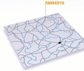 Places with similar names to Nambèrya, Burkina Faso ::
// Namirīyah (SY)
Disclaimer :: Information on this page comes without warranty of any kind |
||
|
Where is Nambèrya? Elevation and coordinates ::
Latitude (lat): 12°55'0"N Longitude (lon): 2°17'0"W
Elevation (approx.): 336m (map arrows pan, magnifying glasses zoom) |
||
|
Visiting Nambèrya? Hotel/Accommodation ::
Book a hotel in Nambèrya Travel Guide ::
rental cars ::
car rental offers GPS waypoint ::
download a GPX waypoint (PoI) of Nambèrya for your GPS receiver
|
||