|
search place name
|
||
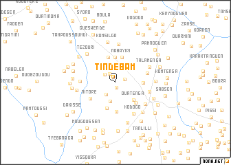
Tindébam (Kadiogo, Burkina Faso)Tindébam is a town in the Kadiogo region of Burkina Faso. An overview map of the region around Tindébam is displayed below.
regional and 3d topo map of Tindébam, Burkina Faso ::
Tindébam airports ::
The nearest airport is OUA - Ouagadougou, located 28.0 km north east of Tindébam.
Nearby towns ::
Kalzi (0.8km south) //
Séguéden (1.6km east) //
Yikidiessé (1.6km north west) //
Koaken (2.2km north west) //
Bissiri (2.5km south west) //
Guipo (3.0km north) //
Poussouwaka (3.2km south) //
Ropala (3.3km north east) //
Tangséga (3.7km north east) //
Banguéma (4.1km north) //
Ouatenga (4.1km south east) //
Nabayiri (4.2km north) //
Goumsi (4.3km north) //
Pouken (4.4km south) //
Tanguen (4.4km east) //
Balambalo (4.6km south east) //
Poussouwaka (4.7km south) //
Nitoré (4.8km south west) //
Nanogo (5.3km east) //
Toguen (5.6km east) //
Tampoui (5.6km west) //
Kodogo (5.9km south east) //
Nabiléyemdi (5.9km south east) //
Talamenga (5.9km north east) //
Dawanégomdé (6.2km north) //
Ouayounkom (6.3km west) //
Ouidi (6.5km south east) //
Tanguen Bissiga (6.4km east) //
Tézouri (6.5km north west) //
[all distances 'as the bird flies' and approximate] 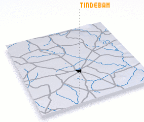 Places with similar names to Tindébam, Burkina Faso ::
// Doundé Bamba (ML)
Disclaimer :: Information on this page comes without warranty of any kind |
||
|
Where is Tindébam? Elevation and coordinates ::
Latitude (lat): 12°7'26"N Longitude (lon): 1°37'18"W
Elevation (approx.): 330m (map arrows pan, magnifying glasses zoom) |
||
|
Visiting Tindébam? Hotel/Accommodation ::
Book a hotel in Tindébam Travel Guide ::
rental cars ::
car rental offers GPS waypoint ::
download a GPX waypoint (PoI) of Tindébam for your GPS receiver
|
||