|
search place name
|
||
Belair Estates (New Providence, Bahamas, The)Belair Estates is a town in the New Providence region of Bahamas, The. An overview map of the region around Belair Estates is displayed below.
regional and 3d topo map of Belair Estates, Bahamas, The ::

Belair Estates airports ::
The nearest airport is NAS - Nassau Lynden Pindling Intl, located 10.3 km west of Belair Estates.
Other airports nearby include ASD - Andros Town Fresh Creek (55.9 km south west), CCZ - Chub Cay (68.2 km north west), SAQ - San Andros (69.0 km west), ELH - North Eleuthera (85.5 km north east), Nearby towns ::
Millar Heights (1.7km west) //
Golden Gates Estates (1.7km east) //
Stapleton Gardens (3.7km north) //
Englerston (5.0km north east) //
Sea Breeze Estates (5.0km east) //
Highbury Park (5.4km east) //
Killarney (6.3km north west) //
Sandilands Village (6.3km north east) //
Cable Beach (6.5km north west) //
Carmichael Village (6.7km west) //
Nassau (7.6km north) //
Blair Estates (7.7km north east) //
Creek Village (8.7km north east) //
Cunningham (10.0km north west) //
[all distances 'as the bird flies' and approximate] 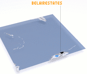 Places with similar names to Belair Estates, Bahamas, The ::
// Bel Air Estates (US)
// Belleair Estates (US)
// Belair Estates (US)
// Belaire Estates (US)
// Bel-Air Estates (US)
// Blair Estates (BS)
Disclaimer :: Information on this page comes without warranty of any kind |
||
|
Where is Belair Estates? Elevation and coordinates ::
Latitude (lat): 25°1'0"N Longitude (lon): 77°22'0"W
Elevation (approx.): 9m (map arrows pan, magnifying glasses zoom) |
||
|
Visiting Belair Estates? Hotel/Accommodation ::
Book a hotel in Belair Estates Travel Guide ::
rental cars ::
car rental offers GPS waypoint ::
download a GPX waypoint (PoI) of Belair Estates for your GPS receiver
|
||