|
search place name
|
||
Chesters (Acklins and Crooked Islands, Bahamas, The)Chesters is a town in the Acklins and Crooked Islands region of Bahamas, The. An overview map of the region around Chesters is displayed below.
regional and 3d topo map of Chesters, Bahamas, The ::

Chesters airports ::
The nearest airport is AXP - Spring Point, located 29.1 km south of Chesters.
Other airports nearby include MYG - Mayaguana (99.5 km east), LGI - Dead Man's Cay Deadmans Cay (131.9 km north west), ZSA - Cockburn Town San Salvador (163.2 km north), SML - Stella Maris (169.6 km north west), Nearby towns ::
Lovely Bay (5.5km west) //
Pinefield (7.6km south east) //
[all distances 'as the bird flies' and approximate] 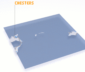 Places with similar names to Chesters, Bahamas, The ::
Disclaimer :: Information on this page comes without warranty of any kind |
||
|
Where is Chesters? Elevation and coordinates ::
Latitude (lat): 22°42'0"N Longitude (lon): 73°55'0"W
Elevation (approx.): 5m (map arrows pan, magnifying glasses zoom) |
||
|
Visiting Chesters? Hotel/Accommodation ::
Book a hotel in Chesters Travel Guide ::
rental cars ::
car rental offers GPS waypoint ::
download a GPX waypoint (PoI) of Chesters for your GPS receiver
|
||