|
search place name
|
||
Tusculum (New Providence, Bahamas, The)Tusculum is a town in the New Providence region of Bahamas, The. An overview map of the region around Tusculum is displayed below.
regional and 3d topo map of Tusculum, Bahamas, The ::

Tusculum airports ::
The nearest airport is NAS - Nassau Lynden Pindling Intl, located 3.5 km south east of Tusculum.
Other airports nearby include ASD - Andros Town Fresh Creek (51.6 km south west), CCZ - Chub Cay (55.8 km north west), SAQ - San Andros (57.1 km west), ELH - North Eleuthera (92.4 km north east), Nearby towns ::
Orange Hill (0.0km north) //
Macbride (1.7km east) //
Love (1.7km west) //
Gambier Village (1.7km west) //
Bradford (3.4km west) //
Cunningham (5.4km east) //
Waterloo (6.3km south west) //
Mount Pleasant (6.5km south west) //
Killarney (7.0km east) //
Carmichael Village (7.5km south east) //
Coral Heights (8.1km south east) //
Adelaide (8.1km south west) //
[all distances 'as the bird flies' and approximate] 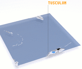 Places with similar names to Tusculum, Bahamas, The ::
// Tusculum (US)
// Tusculum (US)
// Tusculum (US)
// Tusculum (US)
// Tescalama (MX)
// Tizcalama (MX)
// Tza Aquilom (MX)
// Tūsā Kalām (IR)
Disclaimer :: Information on this page comes without warranty of any kind |
||
|
Where is Tusculum? Elevation and coordinates ::
Latitude (lat): 25°4'0"N Longitude (lon): 77°29'0"W
Elevation (approx.): -32768m (map arrows pan, magnifying glasses zoom) |
||
|
Visiting Tusculum? Hotel/Accommodation ::
Book a hotel in Tusculum Travel Guide ::
rental cars ::
car rental offers GPS waypoint ::
download a GPX waypoint (PoI) of Tusculum for your GPS receiver
|
||