|
search place name
|
||
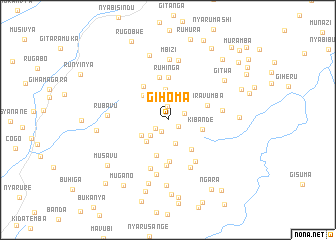
Gihoma (Muyinga, Burundi)Gihoma is a town in the Muyinga region of Burundi. An overview map of the region around Gihoma is displayed below.
regional and 3d topo map of Gihoma, Burundi ::
Gihoma airports ::
The nearest airport is BJM - Bujumbura Intl, located 110.9 km west of Gihoma.
Other airports nearby include KGL - Kigali Intl (120.9 km north), KME - Kamembe (165.9 km north west), BKY - Bukavu/kavumu Bukavu Kavumu (183.1 km north west), GYI - Gisenyi (189.8 km north west), Nearby towns ::
Nyarumonyi (1.4km south east) //
Kigari (1.5km north) //
Nkamba (1.5km south west) //
Gasenyi (1.7km south west) //
Bubanga (1.9km east) //
Gatongati (2.3km north) //
Gasemo (2.6km south west) //
Murenguko (2.7km south) //
Taba (3.4km south west) //
Burima (3.4km north) //
Mukoni (3.5km south west) //
Kigarama (3.8km north west) //
Kibande (3.9km east) //
Nyamiyaga (4.1km south) //
Rutarabana (4.2km south east) //
Murama (4.6km north west) //
Gikobe (4.6km south) //
Ruhinga (4.7km north) //
Kiravumba (4.7km east) //
Burazi (4.8km north) //
Muryamvubu (5.1km south) //
Buheranyi (5.6km south east) //
Maruri (5.8km south) //
Karambi (5.9km south east) //
Kagina (6.2km south) //
Kirehe (6.2km east) //
Kwitaba (6.7km north) //
Rubavu (6.7km west) //
Mbizi (6.7km north) //
[all distances 'as the bird flies' and approximate] 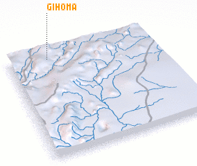 Places with similar names to Gihoma, Burundi ::
Disclaimer :: Information on this page comes without warranty of any kind |
||
|
Where is Gihoma? Elevation and coordinates ::
Latitude (lat): 3°3'12"S Longitude (lon): 30°16'46"E
Elevation (approx.): 1716m (map arrows pan, magnifying glasses zoom) |
||
|
Visiting Gihoma? Hotel/Accommodation ::
Book a hotel in Gihoma Travel Guide ::
Buy a travel guide for Burundi rental cars ::
car rental offers GPS waypoint ::
download a GPX waypoint (PoI) of Gihoma for your GPS receiver
|
||