|
search place name
|
||
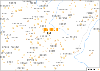
Rubanga (Bururi, Burundi)Rubanga is a town in the Bururi region of Burundi. An overview map of the region around Rubanga is displayed below.
regional and 3d topo map of Rubanga, Burundi ::
Rubanga airports ::
The nearest airport is BJM - Bujumbura Intl, located 62.9 km north west of Rubanga.
Other airports nearby include KME - Kamembe (167.2 km north west), BKY - Bukavu/kavumu Bukavu Kavumu (187.4 km north west), KGL - Kigali Intl (203.6 km north), Nearby towns ::
Kavuza (1.2km south) //
Matana (1.6km south west) //
Canika (2.7km south west) //
Murango (2.7km north west) //
Rusura (2.7km south east) //
Migerere (3.0km south west) //
Nyarugegene (3.2km south) //
Gisarenda (3.5km south east) //
Kibozi (3.7km north west) //
Gishiha (3.9km south east) //
Kiriza (4.7km south) //
Butwe (4.7km south east) //
Muyange (4.9km south) //
Cibwire (5.0km south west) //
Nyakigi (5.0km south) //
Mwurire (5.0km west) //
Nkingu (5.0km south west) //
Kivogera (5.0km north west) //
Gwasanga (5.1km south east) //
Buhana (5.2km south west) //
Kibungo (5.4km south west) //
Kiganda (5.4km north) //
Gasibe (5.8km north east) //
Nyagatovu (5.9km south east) //
Rucu (5.9km south) //
Mutoyi (5.9km east) //
Nyetasha (6.0km west) //
Gasibe (6.2km north) //
Musasa (6.2km north west) //
[all distances 'as the bird flies' and approximate] 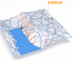 Places with similar names to Rubanga, Burundi ::
Disclaimer :: Information on this page comes without warranty of any kind |
||
|
Where is Rubanga? Elevation and coordinates ::
Latitude (lat): 3°45'14"S Longitude (lon): 29°41'23"E
Elevation (approx.): 1872m (map arrows pan, magnifying glasses zoom) |
||
|
Visiting Rubanga? Hotel/Accommodation ::
Book a hotel in Rubanga Travel Guide ::
Buy a travel guide for Burundi rental cars ::
car rental offers GPS waypoint ::
download a GPX waypoint (PoI) of Rubanga for your GPS receiver
|
||