|
search place name
|
||
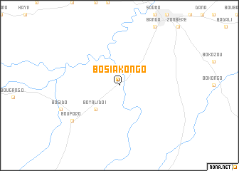
Bosiakongo (Central African Republic)Bosiakongo is a town in Central African Republic. An overview map of the region around Bosiakongo is displayed below.
regional and 3d topo map of Bosiakongo, Central African Republic ::
Bosiakongo airports ::
The nearest airport is BBT - Berberati, located 228.3 km south of Bosiakongo.
Nearby towns ::
Boyalido I (5.2km south west) //
Bouforo (9.2km south west) //
[all distances 'as the bird flies' and approximate] 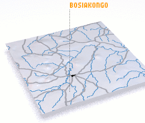 Places with similar names to Bosiakongo, Central African Republic ::
// Batiakungu (CD)
// Boshe-Kungu (CD)
// Bachigang (CN)
// Baishagang (CN)
// Baishakeng (CN)
// Baishakeng (CN)
// Baishikeng (CN)
// Baishikeng (CN)
// Baishuigang (CN)
// Baishuikeng (CN)
Disclaimer :: Information on this page comes without warranty of any kind |
||
|
Where is Bosiakongo? Elevation and coordinates ::
Latitude (lat): 6°13'0"N Longitude (lon): 16°19'0"E
Elevation (approx.): 661m (map arrows pan, magnifying glasses zoom) |
||
|
Visiting Bosiakongo? Hotel/Accommodation ::
Book a hotel in Bosiakongo Travel Guide ::
rental cars ::
car rental offers GPS waypoint ::
download a GPX waypoint (PoI) of Bosiakongo for your GPS receiver
|
||