|
search place name
|
||
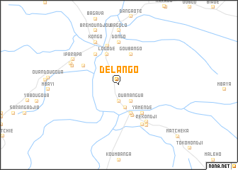
Délango (Ouaka, Central African Republic)Délango is a town in the Ouaka region of Central African Republic. An overview map of the region around Délango is displayed below.
regional and 3d topo map of Délango, Central African Republic ::
Délango airports ::
The nearest airport is BDT - Gbadolite, located 163.9 km south of Délango.
Nearby towns ::
Djimeti (2.6km south) //
Ouanangua (3.2km south east) //
Koumbanga (3.7km south) //
Boubou (4.8km south east) //
Libada (4.8km south east) //
Logodé (5.2km north) //
Goubango (5.2km north) //
Gaima (5.3km south east) //
Yamendé (5.8km south east) //
Kapabanga (6.1km north west) //
Maliouaka (6.3km north west) //
Bambari (6.4km north) //
Dongo (6.7km north) //
Rekondji (7.3km south east) //
Matoungou (7.3km south east) //
Kongo (7.7km north west) //
Pagbingui (7.7km south east) //
Bissiamba (8.0km west) //
Dango (8.0km west) //
Iparapa (8.3km north west) //
Greko (8.3km north west) //
Assoukoumba (8.6km north) //
Bagolo (8.6km north) //
Bremoundjou (9.3km north west) //
[all distances 'as the bird flies' and approximate] 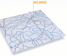 Places with similar names to Délango, Central African Republic ::
Disclaimer :: Information on this page comes without warranty of any kind |
||
|
Where is Délango? Elevation and coordinates ::
Latitude (lat): 5°42'23"N Longitude (lon): 20°41'0"E
Elevation (approx.): 499m (map arrows pan, magnifying glasses zoom) |
||
|
Visiting Délango? Hotel/Accommodation ::
Book a hotel in Délango Travel Guide ::
rental cars ::
car rental offers GPS waypoint ::
download a GPX waypoint (PoI) of Délango for your GPS receiver
|
||