|
search place name
|
||
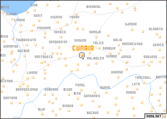
Cunaiá (Cacheu, Guinea-Bissau)Cunaiá is a town in the Cacheu region of Guinea-Bissau. An overview map of the region around Cunaiá is displayed below.
regional and 3d topo map of Cunaiá, Guinea-Bissau ::
Cunaiá airports ::
The nearest airport is BXO - Bissau Oswaldo Vieira Intl, located 62.2 km south of Cunaiá.
Other airports nearby include ZIG - Ziguinchor (85.5 km west), CSK - Cap Skiring (135.1 km west), BJL - Banjul Intl (159.5 km north west), KLC - Kaolack (198.2 km north), Nearby towns ::
Sedimenta (1.6km south east) //
Benhifo (1.6km south west) //
Tabajã (2.1km north east) //
Nhanaià (2.7km south west) //
Malibolom (2.9km east) //
Sindina (3.2km north) //
Ganturè (3.7km south west) //
Bigene (4.1km west) //
Bunquilim (4.1km west) //
Talicó (4.3km north east) //
São João (5.2km west) //
Darsalame (5.2km west) //
Indaia (5.4km west) //
Samoje (5.8km north east) //
Farroba (6.0km west) //
Sambuiá (6.0km east) //
Sambuiádim (6.0km east) //
Senquerem (6.1km north west) //
Simbor (6.4km east) //
Forol (6.8km south) //
Mampatás (6.9km north) //
Tambacruto (6.9km west) //
Jambacunda (7.1km north) //
Nenecó (7.1km north west) //
Tanbananding (7.1km north west) //
Facã (7.7km north east) //
Concolim (7.8km south) //
Camaracunda (7.8km east) //
Quissir (7.9km west) //
[all distances 'as the bird flies' and approximate] 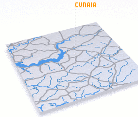 Places with similar names to Cunaiá, Guinea-Bissau ::
Disclaimer :: Information on this page comes without warranty of any kind |
||
|
Where is Cunaiá? Elevation and coordinates ::
Latitude (lat): 12°26'15"N Longitude (lon): 15°30'15"W
Elevation (approx.): 23m (map arrows pan, magnifying glasses zoom) |
||
|
Visiting Cunaiá? Hotel/Accommodation ::
Book a hotel in Cunaiá Travel Guide ::
rental cars ::
car rental offers GPS waypoint ::
download a GPX waypoint (PoI) of Cunaiá for your GPS receiver
|
||