|
search place name
|
||
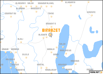
Bir Abzet (Chari-Baguirmi, Chad)Bir Abzet is a town in the Chari-Baguirmi region of Chad. An overview map of the region around Bir Abzet is displayed below.
regional and 3d topo map of Bir Abzet, Chad ::
Bir Abzet airports ::
The nearest airport is NDJ - N'djamena Ndjamena Hassan Djamous, located 61.2 km south of Bir Abzet.
Other airports nearby include MIU - Maiduguri (224.7 km south west), Nearby towns ::
Izéni (1.9km north) //
Chérek el Balbout (1.8km west) //
Blédaya (2.9km west) //
Asouekté (3.7km north) //
Fadia (4.1km south east) //
Salga (5.5km south east) //
Daoula (5.6km south) //
Toksé (7.4km north) //
Dougi (7.6km south) //
Am Algrous (7.9km south east) //
[all distances 'as the bird flies' and approximate] 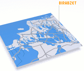 Places with similar names to Bir Abzet, Chad ::
// Bărbeşti (RO)
// Berbeşti (RO)
// Berbeşti (RO)
// Berbeşti (RO)
// Barriobusto (ES)
// Bara Bāisdia (BD)
// Bārābasat (BD)
// Bara Bāsta (BD)
// Barbastau (KZ)
// Bari Basti (PK)
Disclaimer :: Information on this page comes without warranty of any kind |
||
|
Where is Bir Abzet? Elevation and coordinates ::
Latitude (lat): 12°41'0"N Longitude (lon): 14°58'0"E
Elevation (approx.): 290m (map arrows pan, magnifying glasses zoom) |
||
|
Visiting Bir Abzet? Hotel/Accommodation ::
Book a hotel in Bir Abzet Travel Guide ::
Buy a travel guide for Chad rental cars ::
car rental offers GPS waypoint ::
download a GPX waypoint (PoI) of Bir Abzet for your GPS receiver
|
||