|
search place name
|
||
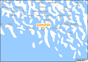
Gomirom (Lac, Chad)Gomirom is a town in the Lac region of Chad. An overview map of the region around Gomirom is displayed below.
regional and 3d topo map of Gomirom, Chad ::
Gomirom airports ::
The nearest airport is NDJ - N'djamena Ndjamena Hassan Djamous, located 139.1 km south of Gomirom.
Other airports nearby include MIU - Maiduguri (231.0 km south west), Nearby towns ::
Magigir (4.1km north east) //
Ngalérom (5.4km west) //
Bitchilom (5.4km east) //
Fourkoulom (5.8km north) //
Ngalamia (5.8km north) //
Nasar (5.8km north) //
Kadoulou (7.4km north) //
Fadra (7.8km north west) //
Kotokorom (7.8km north east) //
Kirbia (8.2km north west) //
Makiarom (9.1km north east) //
Kaïga (10.3km north west) //
[all distances 'as the bird flies' and approximate] 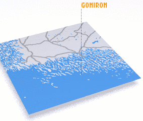 Places with similar names to Gomirom, Chad ::
// Komárom (HU)
// Guai Mariam (ET)
// Kemrimbé (TD)
// Guamarumbo (KM)
// Gomāram (IN)
// Kamburiami (ID)
// Gamram (NE)
// Kumba Urembo (TZ)
// Gombaram (NG)
// Kamarimi (NG)
Disclaimer :: Information on this page comes without warranty of any kind |
||
|
Where is Gomirom? Elevation and coordinates ::
Latitude (lat): 13°19'0"N Longitude (lon): 14°36'0"E
Elevation (approx.): 278m (map arrows pan, magnifying glasses zoom) |
||
|
Visiting Gomirom? Hotel/Accommodation ::
Book a hotel in Gomirom Travel Guide ::
Buy a travel guide for Chad rental cars ::
car rental offers GPS waypoint ::
download a GPX waypoint (PoI) of Gomirom for your GPS receiver
|
||