|
search place name
|
||
Mabatam (Tandjilé, Chad)Mabatam is a town in the Tandjilé region of Chad. An overview map of the region around Mabatam is displayed below.
regional and 3d topo map of Mabatam, Chad ::

Mabatam airports ::
The nearest airport is MQQ - Moundou, located 113.3 km south of Mabatam.
Other airports nearby include MVR - Maroua Salak (194.3 km north west), Nearby towns ::
Bana Ngoto (2.6km north west) //
Marba Kakrao (2.6km south west) //
Marba Damdou (3.7km south) //
Koumana (4.1km north west) //
Djoutoum (5.2km north east) //
Tchiré Mousseï (5.2km south east) //
Ambasglao (5.5km east) //
Karoum (5.9km north) //
Dassa (6.6km south west) //
Bouboul (7.5km west) //
Marba Mander (7.6km south) //
Marba Ganane (8.3km south west) //
Marba Gogor (9.2km south west) //
Ellé (9.2km south west) //
[all distances 'as the bird flies' and approximate] 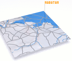
Disclaimer :: Information on this page comes without warranty of any kind |
||
|
Where is Mabatam? Elevation and coordinates ::
Latitude (lat): 9°37'0"N Longitude (lon): 15°49'0"E
Elevation (approx.): 343m (map arrows pan, magnifying glasses zoom) |
||
|
Visiting Mabatam? Hotel/Accommodation ::
Book a hotel in Mabatam Travel Guide ::
Buy a travel guide for Chad rental cars ::
car rental offers GPS waypoint ::
download a GPX waypoint (PoI) of Mabatam for your GPS receiver
|
||