|
search place name
|
||
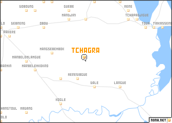
Tchagra (Tandjilé, Chad)Tchagra is a town in the Tandjilé region of Chad. An overview map of the region around Tchagra is displayed below.
regional and 3d topo map of Tchagra, Chad ::
Tchagra airports ::
The nearest airport is MQQ - Moundou, located 70.1 km south of Tchagra.
Other airports nearby include MVR - Maroua Salak (229.8 km north west), Nearby towns ::
Méré Sibgué (4.1km south west) //
Dalé (5.9km south) //
Méré Mogolo (6.6km south west) //
Mangsé Bembok (7.5km west) //
Langué (9.2km south east) //
[all distances 'as the bird flies' and approximate] 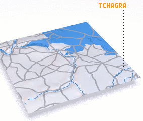 Places with similar names to Tchagra, Chad ::
// Tchagra (TD)
// Tchakor (TD)
// Tchakor (TD)
// Tchokorey (TD)
// Tchoukara (TD)
// Tachigori (MX)
// Tchakiré (NE)
// Tchakori (NE)
// Tīsheh Garī (IR)
// Techa Karai (PK)
Disclaimer :: Information on this page comes without warranty of any kind |
||
|
Where is Tchagra? Elevation and coordinates ::
Latitude (lat): 9°15'0"N Longitude (lon): 15°58'0"E
Elevation (approx.): 370m (map arrows pan, magnifying glasses zoom) |
||
|
Visiting Tchagra? Hotel/Accommodation ::
Book a hotel in Tchagra Travel Guide ::
Buy a travel guide for Chad rental cars ::
car rental offers GPS waypoint ::
download a GPX waypoint (PoI) of Tchagra for your GPS receiver
|
||