|
search place name
|
||
Almendro (Libertador General Bernardo OʼHiggins, Chile)Almendro is a town in the Libertador General Bernardo OʼHiggins region of Chile. An overview map of the region around Almendro is displayed below.
regional and 3d topo map of Almendro, Chile ::

Almendro airports ::
The nearest airport is SCL - Santiago Arturo Merino Benitez Intl, located 102.1 km north of Almendro.
Other airports nearby include LGS - Malargue (191.4 km south east), Nearby towns ::
El Parral (1.9km north) //
Monte Grande (1.5km east) //
Comunidad Purén (2.4km north west) //
Rinconada de Parral (3.7km north) //
Montechico (3.1km east) //
Coltauco (3.6km south west) //
Millahue (4.0km south) //
El Rulo (4.8km south east) //
Comunidad de Idahue (5.0km west) //
Chillehue (6.4km east) //
Rinconada (7.6km south) //
El Romeral (7.2km south west) //
Guacarhue (8.0km south) //
Lo de Cuevas (9.6km north east) //
[all distances 'as the bird flies' and approximate] 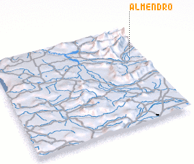 Places with similar names to Almendro, Chile ::
// Almendra (PT)
// Almendro (CU)
// Al Mandarah (EG)
// Al Mandarah (EG)
// Al Mandarah (EG)
// Al Mandūrah (EG)
// Almendra (ES)
// Almendro (ES)
// Al Manţarah (JO)
// Almendro (PE)
Disclaimer :: Information on this page comes without warranty of any kind |
||
|
Where is Almendro? Elevation and coordinates ::
Latitude (lat): 34°17'0"S Longitude (lon): 71°4'0"W
Elevation (approx.): 275m (map arrows pan, magnifying glasses zoom) |
||
|
Visiting Almendro? Hotel/Accommodation ::
Book a hotel in Almendro Travel Guide ::
Buy a travel guide for Chile rental cars ::
car rental offers GPS waypoint ::
download a GPX waypoint (PoI) of Almendro for your GPS receiver
|
||