|
search place name
|
||
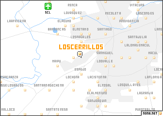
Los Cerrillos (Región Metropolitana, Chile)Los Cerrillos is a town in the Región Metropolitana region of Chile. An overview map of the region around Los Cerrillos is displayed below.
regional and 3d topo map of Los Cerrillos, Chile ::
Los Cerrillos airports ::
The nearest airport is SCL - Santiago Arturo Merino Benitez Intl, located 13.5 km north west of Los Cerrillos.
Other airports nearby include MDZ - Mendoza El Plumerillo (194.1 km east), LGS - Malargue (244.8 km south east), Nearby towns ::
Errázuriz (1.5km west) //
Los Nogales (3.7km north) //
Espejo (3.7km south) //
La Feria (3.6km north east) //
Ochagavía (3.6km north east) //
El Retamo (5.6km north) //
San Miguel (4.6km east) //
Lo Chena (5.8km south) //
Quinta Normal (5.8km north) //
Maipú (5.0km west) //
Lo Ovalle (5.0km east) //
La Cisterna (6.4km south east) //
El Blanqueado (7.6km north) //
Rinconada de Chena (7.6km south) //
La Lata (6.5km east) //
El Bosque (7.6km south) //
Barrancas (7.2km north west) //
Santiago (7.2km north east) //
El Peumo (8.0km north west) //
El Rosal (8.7km south east) //
Santa Ana de Chena (9.7km south west) //
[all distances 'as the bird flies' and approximate] 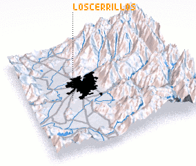 Places with similar names to Los Cerrillos, Chile ::
// Los Cerrillos (PA)
// Las Erillas (ES)
// Las Orillas (ES)
// Los Cerrillos (ES)
// Los Cerrilos (US)
// Los Cerrillos (CL)
// Los Cerrillos (CL)
// Los Ciruelos (CL)
// Los Raulíes (CL)
// Los Rulos (CL)
Disclaimer :: Information on this page comes without warranty of any kind |
||
|
Where is Los Cerrillos? Elevation and coordinates ::
Latitude (lat): 33°30'0"S Longitude (lon): 70°43'0"W
Elevation (approx.): 517m (map arrows pan, magnifying glasses zoom) |
||
|
Visiting Los Cerrillos? Hotel/Accommodation ::
Book a hotel in Los Cerrillos Travel Guide ::
Buy a travel guide for Chile rental cars ::
car rental offers GPS waypoint ::
download a GPX waypoint (PoI) of Los Cerrillos for your GPS receiver
|
||