|
search place name
|
||
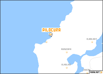
Pilocura (Los Lagos, Chile)Pilocura is a town in the Los Lagos region of Chile. An overview map of the region around Pilocura is displayed below.
regional and 3d topo map of Pilocura, Chile ::
Pilocura airports ::
The nearest airport is ZAL - Valdivia Pichoy, located 22.7 km east of Pilocura.
Other airports nearby include ZOS - Osorno Canal Bajo Carlos Hott Siebert (107.7 km south), ZCO - Temuco Maquehue (117.3 km north east), PMC - Puerto Montt El Tepual Intl (198.0 km south), Nearby towns ::
 Places with similar names to Pilocura, Chile ::
// Pulgar (DE)
// Palaiokariá (GR)
// Paliokariá (GR)
// Polgár (HU)
// Pala Gora (BA)
// Pločari (BA)
// Plugari (RO)
// Plugari (RO)
// Pelogra (ES)
// Plágaro (ES)
Disclaimer :: Information on this page comes without warranty of any kind |
||
|
Where is Pilocura? Elevation and coordinates ::
Latitude (lat): 39°40'0"S Longitude (lon): 73°21'0"W
Elevation (approx.): 15m (map arrows pan, magnifying glasses zoom) |
||
|
Visiting Pilocura? Hotel/Accommodation ::
Book a hotel in Pilocura Travel Guide ::
Buy a travel guide for Chile rental cars ::
car rental offers GPS waypoint ::
download a GPX waypoint (PoI) of Pilocura for your GPS receiver
|
||