|
search place name
|
||
Puerto Sara (Magallanes y Antártica Chilena, Chile)Puerto Sara is a town in the Magallanes y Antártica Chilena region of Chile. An overview map of the region around Puerto Sara is displayed below.
regional and 3d topo map of Puerto Sara, Chile ::

Puerto Sara airports ::
The nearest airport is PUQ - Punta Arenas Carlos Ibanez Del Campo Intl, located 60.3 km south west of Puerto Sara.
Other airports nearby include RGL - Rio Gallegos (129.2 km north east), Nearby towns ::
[all distances 'as the bird flies' and approximate] 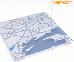 Places with similar names to Puerto Sara, Chile ::
// Pritzier (DE)
// Partsaare (EE)
// Pertozero (RU)
// Pertozero (RU)
// Pertozero (RU)
// Pertozero (RU)
// Pertozero (RU)
// Pertozero (RU)
// Pardeh Sar (IR)
// Pardeh Sar (IR)
Disclaimer :: Information on this page comes without warranty of any kind |
||
|
Where is Puerto Sara? Elevation and coordinates ::
Latitude (lat): 52°38'0"S Longitude (lon): 70°12'0"W
Elevation (approx.): -32768m (map arrows pan, magnifying glasses zoom) |
||
|
Visiting Puerto Sara? Hotel/Accommodation ::
Book a hotel in Puerto Sara Travel Guide ::
Buy a travel guide for Chile rental cars ::
car rental offers GPS waypoint ::
download a GPX waypoint (PoI) of Puerto Sara for your GPS receiver
|
||