|
search place name
|
||
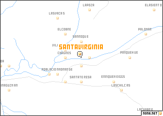
Santa Virginia (Valparaíso, Chile)Santa Virginia is a town in the Valparaíso region of Chile. An overview map of the region around Santa Virginia is displayed below.
regional and 3d topo map of Santa Virginia, Chile ::
Santa Virginia airports ::
The nearest airport is SCL - Santiago Arturo Merino Benitez Intl, located 67.2 km south of Santa Virginia.
Nearby towns ::
Lo Campo (1.6km east) //
Santa Celia (1.9km south) //
San Roque (3.7km north) //
Chagres (3.1km west) //
Villa de Catemu (3.6km north west) //
La Higuera (3.6km north west) //
Santa Teresa (5.6km south) //
Población Morandé (6.0km south west) //
El Cobre (6.4km north west) //
Llaillay (6.4km south west) //
El Molino (7.2km south west) //
Enrique Meiggs (8.3km south east) //
[all distances 'as the bird flies' and approximate] 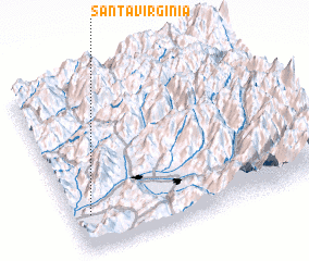 Places with similar names to Santa Virginia, Chile ::
// Santa Virgínia (BR)
Disclaimer :: Information on this page comes without warranty of any kind |
||
|
Where is Santa Virginia? Elevation and coordinates ::
Latitude (lat): 32°48'0"S Longitude (lon): 70°56'0"W
Elevation (approx.): 440m (map arrows pan, magnifying glasses zoom) |
||
|
Visiting Santa Virginia? Hotel/Accommodation ::
Book a hotel in Santa Virginia Travel Guide ::
Buy a travel guide for Chile rental cars ::
car rental offers GPS waypoint ::
download a GPX waypoint (PoI) of Santa Virginia for your GPS receiver
|
||