|
search place name
|
||
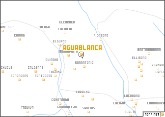
Agua Blanca (Cauca, Colombia)Agua Blanca is a town in the Cauca region of Colombia. An overview map of the region around Agua Blanca is displayed below.
regional and 3d topo map of Agua Blanca, Colombia ::
Agua Blanca airports ::
The nearest airport is NVA - Neiva Benito Salas, located 77.6 km north east of Agua Blanca.
Other airports nearby include PPN - Popayan Guillermo Leon Valencia (78.7 km west), CLO - Cali Alfonso Bonilla Aragon Intl (107.8 km north west), FLA - Florencia Gustavo Artunduaga Paredes (127.2 km south), SVI - San Vincente De Caguan Eduardo Falla Solano (142.6 km south east), Nearby towns ::
San Antonio (1.8km south) //
Carmen (3.0km south west) //
Buenavista (3.3km west) //
El Guamo (6.0km north west) //
Ríonegro (6.1km north east) //
Belalcazar (6.6km west) //
Avirama (7.1km west) //
La Emilia (7.1km north west) //
Togoima (7.4km south west) //
El Carmen (8.2km north west) //
La Palma (8.6km south) //
Santa Rosa (10.1km south west) //
Tálaga (10.8km north west) //
[all distances 'as the bird flies' and approximate] 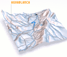 Places with similar names to Agua Blanca, Colombia ::
// Agbalanga (PH)
// Agua Blanca (BO)
// Agua Blanca (BO)
// Agua Blanca (BO)
// Agua Blanca (BO)
// Agua Blanca (BO)
// Agua Blanca (BO)
// Agua Blanca (BO)
// Agua Blanca (BO)
// Agua Blanca (BO)
Disclaimer :: Information on this page comes without warranty of any kind |
||
|
Where is Agua Blanca? Elevation and coordinates ::
Latitude (lat): 2°40'37"N Longitude (lon): 75°56'14"W
Elevation (approx.): 1962m (map arrows pan, magnifying glasses zoom) |
||
|
Visiting Agua Blanca? Hotel/Accommodation ::
Book a hotel in Agua Blanca Travel Guide ::
Buy a travel guide for Colombia rental cars ::
car rental offers GPS waypoint ::
download a GPX waypoint (PoI) of Agua Blanca for your GPS receiver
|
||