|
search place name
|
||
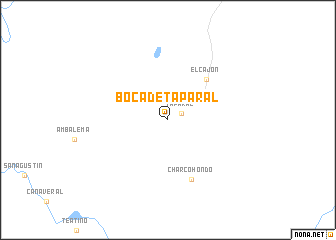
Boca de Taparal (Chocó, Colombia)Boca de Taparal is a town in the Chocó region of Colombia. An overview map of the region around Boca de Taparal is displayed below.
regional and 3d topo map of Boca de Taparal, Colombia ::
Boca de Taparal airports ::
The nearest airport is ULQ - Tulua Farfan, located 93.1 km south east of Boca de Taparal.
Other airports nearby include UIB - Quibdo El Carano (97.9 km north), PEI - Pereira Matecana (103.5 km east), AXM - Armenia El Eden (107.9 km east), BUN - Buenaventura Gerardo Tobar Lopez (114.6 km south), Nearby towns ::
Taparal (1.7km north east) //
El Cajón (6.3km north east) //
Charco Hondo (7.1km south) //
[all distances 'as the bird flies' and approximate] 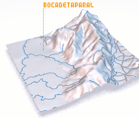 Places with similar names to Boca de Taparal, Colombia :: Disclaimer :: Information on this page comes without warranty of any kind |
||
|
Where is Boca de Taparal? Elevation and coordinates ::
Latitude (lat): 4°48'22"N Longitude (lon): 76°40'22"W
Elevation (approx.): 18m (map arrows pan, magnifying glasses zoom) |
||
|
Visiting Boca de Taparal? Hotel/Accommodation ::
Book a hotel in Boca de Taparal Travel Guide ::
Buy a travel guide for Colombia rental cars ::
car rental offers GPS waypoint ::
download a GPX waypoint (PoI) of Boca de Taparal for your GPS receiver
|
||