|
search place name
|
||
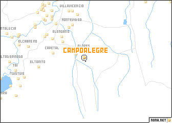
Campo Alegre (Córdoba, Colombia)Campo Alegre is a town in the Córdoba region of Colombia. An overview map of the region around Campo Alegre is displayed below.
regional and 3d topo map of Campo Alegre, Colombia ::
Campo Alegre airports ::
The nearest airport is MTR - Monteria Los Garzones, located 82.3 km north of Campo Alegre.
Other airports nearby include CZU - Corozal Las Brujas (157.4 km north east), MGN - Magangue Baracoa (182.5 km north east), OTU - Otu (186.1 km south east), EOH - Medellin Olaya Herrera (212.8 km south), Nearby towns ::
Flores (2.3km north) //
Palmira (2.7km north west) //
Nochebuena (6.6km north west) //
Capetal (7.4km west) //
El Engaño (7.6km north west) //
Serapio (8.3km north west) //
Montevideo (8.5km north) //
Jarascal (8.8km north west) //
Balsa (10.3km north west) //
Tierralta (10.5km north west) //
[all distances 'as the bird flies' and approximate] 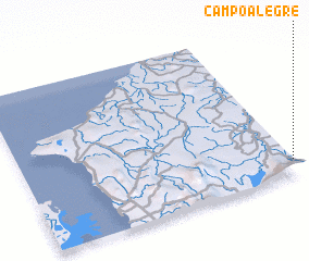 Places with similar names to Campo Alegre, Colombia ::
// Campo Alegre (BR)
// Campo Alegre (PA)
// Campo Alegre (PA)
// Campo Alegre (CU)
// Campo Alegre (CU)
// Campo Alegre (CO)
// Campo Alegre (CO)
// Campo Alegre (CO)
// Campo Alegre (CO)
// Campo Alegre (CO)
Disclaimer :: Information on this page comes without warranty of any kind |
||
|
Where is Campo Alegre? Elevation and coordinates ::
Latitude (lat): 8°6'0"N Longitude (lon): 76°0'0"W
Elevation (approx.): 77m (map arrows pan, magnifying glasses zoom) |
||
|
Visiting Campo Alegre? Hotel/Accommodation ::
Book a hotel in Campo Alegre Travel Guide ::
Buy a travel guide for Colombia rental cars ::
car rental offers GPS waypoint ::
download a GPX waypoint (PoI) of Campo Alegre for your GPS receiver
|
||