|
search place name
|
||
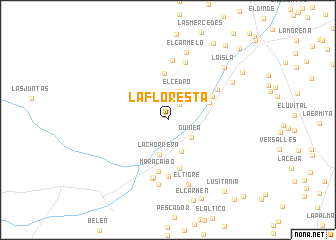
La Floresta (Huila, Colombia)La Floresta is a town in the Huila region of Colombia. An overview map of the region around La Floresta is displayed below.
regional and 3d topo map of La Floresta, Colombia ::
La Floresta airports ::
The nearest airport is PPN - Popayan Guillermo Leon Valencia, located 71.8 km west of La Floresta.
Other airports nearby include FLA - Florencia Gustavo Artunduaga Paredes (92.3 km south east), NVA - Neiva Benito Salas (103.9 km north east), SVI - San Vincente De Caguan Eduardo Falla Solano (136.1 km east), CLO - Cali Alfonso Bonilla Aragon Intl (143.3 km north), Nearby towns ::
El Horizonte (0.6km north west) //
El Mango (2.2km north east) //
Guinea (3.3km south east) //
El Cedro (3.4km north) //
Naranjal (3.8km south) //
La Chorrera (4.0km south) //
Loctania (5.0km north east) //
Patio Pelado (5.2km north) //
Gallego (5.5km south) //
El Carmen (5.6km north east) //
Maracaibo (5.8km south) //
La Vega (6.4km south) //
Santa Rosa (6.5km north east) //
Berlín (6.7km north) //
El Carmen (6.7km south) //
Palestina (6.7km north) //
El Carmen (6.7km south) //
Santa Helena (7.3km south) //
El Tigre (7.5km south) //
El Carmelo (7.8km north) //
Combeima (8.3km north east) //
La Isla (8.6km north east) //
Joselito (9.5km south east) //
Casablanca (9.9km north east) //
San Juan (9.9km north east) //
Lusitania (10.2km south east) //
Fátima (10.5km north east) //
La Esperanza (11.3km north east) //
El Isno (11.6km south east) //
[all distances 'as the bird flies' and approximate]  Places with similar names to La Floresta, Colombia ::
// La Florecita (PA)
// La Florecita (CO)
// La Floresta (CO)
// La Floresta (CO)
// La Floresta (CO)
// La Floresta (CO)
// La Floresta (CO)
// La Floresta (CO)
// La Floresta (CO)
// La Floresta (CO)
Disclaimer :: Information on this page comes without warranty of any kind |
||
|
Where is La Floresta? Elevation and coordinates ::
Latitude (lat): 2°18'44"N Longitude (lon): 75°58'47"W
Elevation (approx.): 1791m (map arrows pan, magnifying glasses zoom) |
||
|
Visiting La Floresta? Hotel/Accommodation ::
Book a hotel in La Floresta Travel Guide ::
Buy a travel guide for Colombia rental cars ::
car rental offers GPS waypoint ::
download a GPX waypoint (PoI) of La Floresta for your GPS receiver
|
||