|
search place name
|
||
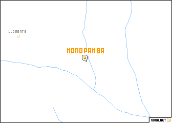
Monopamba (Nariño, Colombia)Monopamba is a town in the Nariño region of Colombia. An overview map of the region around Monopamba is displayed below.
regional and 3d topo map of Monopamba, Colombia ::
Monopamba airports ::
The nearest airport is IPI - Ipiales San Luis, located 62.7 km west of Monopamba.
Other airports nearby include TUA - Tulcan Teniente Coronel Luis A Mantilla (66.0 km west), PSO - Pasto Antonio Narino (72.3 km north), PUU - Puerto Asis Tres De Mayo (74.4 km south east), TPC - Tarapoa (131.1 km south east), Nearby towns ::
[all distances 'as the bird flies' and approximate] 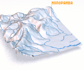 Places with similar names to Monopamba, Colombia ::
// Mān Hpa-ūm (MM)
// Munie-Pembe (CD)
Disclaimer :: Information on this page comes without warranty of any kind |
||
|
Where is Monopamba? Elevation and coordinates ::
Latitude (lat): 0°46'0"S Longitude (lon): 77°7'0"W
Elevation (approx.): 1621m (map arrows pan, magnifying glasses zoom) |
||
|
Visiting Monopamba? Hotel/Accommodation ::
Book a hotel in Monopamba Travel Guide ::
Buy a travel guide for Colombia rental cars ::
car rental offers GPS waypoint ::
download a GPX waypoint (PoI) of Monopamba for your GPS receiver
|
||