|
search place name
|
||
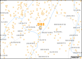
Oiba (Santander, Colombia)Oiba is a town in the Santander region of Colombia. An overview map of the region around Oiba is displayed below.
regional and 3d topo map of Oiba, Colombia ::
Oiba airports ::
The nearest airport is BGA - Bucaramanga Palonegro, located 96.1 km north of Oiba.
Other airports nearby include EJA - Barrancabermeja Yariguies (101.0 km north west), TME - Tame (171.5 km east), OTU - Otu (177.0 km north west), BOG - Bogota Eldorado Intl (196.8 km south west), Nearby towns ::
La Carbonera (0.8km north west) //
San Rafael (0.9km north) //
Rovira (1.5km south west) //
Hacienda Vargas (1.6km west) //
Santa Rita (2.2km south west) //
Paloblanco (3.0km north east) //
La Esmeralda (3.4km south) //
San Vicente (3.4km east) //
Angosturas (3.8km south east) //
Chircal (4.1km north) //
La Trinidad (4.6km west) //
Quebrada Las Minas (4.6km south) //
Estación Guapatá (4.6km north) //
Pie de Alto (4.7km south east) //
La Peñuela (5.0km west) //
Guapotá (5.3km north west) //
San Pedro (5.4km north east) //
Agua Fría (5.6km north) //
Violetas (5.6km south) //
San Cayetano (5.6km west) //
La Floresta (5.6km west) //
La Plata (5.7km north) //
El Hoyo (5.7km south) //
El Líbano (5.9km west) //
Pilas (5.9km north west) //
Buenos Aires (6.4km south west) //
La Pedregosa (6.6km north) //
La Hoya (6.7km north east) //
La Florida (6.8km south) //
[all distances 'as the bird flies' and approximate] 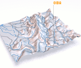 Places with similar names to Oiba, Colombia ::
Disclaimer :: Information on this page comes without warranty of any kind |
||
|
Where is Oiba? Elevation and coordinates ::
Latitude (lat): 6°15'55"N Longitude (lon): 73°17'57"W
Elevation (approx.): 1428m (map arrows pan, magnifying glasses zoom) |
||
|
Visiting Oiba? Hotel/Accommodation ::
Book a hotel in Oiba Travel Guide ::
Buy a travel guide for Colombia rental cars ::
car rental offers GPS waypoint ::
download a GPX waypoint (PoI) of Oiba for your GPS receiver
|
||