|
search place name
|
||
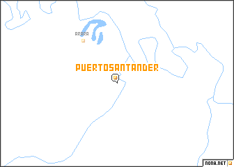
Puerto Santander (Departamento del Guaviare, Colombia)Puerto Santander is a town in the Departamento del Guaviare region of Colombia. An overview map of the region around Puerto Santander is displayed below.
regional and 3d topo map of Puerto Santander, Colombia ::
Puerto Santander airports ::
The nearest airport is MVP - Mitu Fabio Alberto Leon Bentley, located 151.5 km east of Puerto Santander.
Other airports nearby include SJE - San Jose Del Guaviare Jorge E Gonzalez Torres (201.7 km north west), Nearby towns ::
Arará (8.8km north west) //
[all distances 'as the bird flies' and approximate] 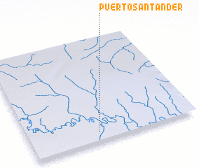 Places with similar names to Puerto Santander, Colombia ::
// Puerto Santander (CO)
// Puerto Santander (CO)
// Puerto Santander (CO)
// Peyret-Saint-André (FR)
Disclaimer :: Information on this page comes without warranty of any kind |
||
|
Where is Puerto Santander? Elevation and coordinates ::
Latitude (lat): 1°5'41"N Longitude (lon): 71°35'10"W
Elevation (approx.): 206m (map arrows pan, magnifying glasses zoom) |
||
|
Visiting Puerto Santander? Hotel/Accommodation ::
Book a hotel in Puerto Santander Travel Guide ::
Buy a travel guide for Colombia rental cars ::
car rental offers GPS waypoint ::
download a GPX waypoint (PoI) of Puerto Santander for your GPS receiver
|
||