|
search place name
|
||
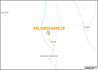
Salina de Gámeza (Boyacá, Colombia)Salina de Gámeza is a town in the Boyacá region of Colombia. An overview map of the region around Salina de Gámeza is displayed below.
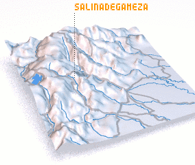
regional and 3d topo map of Salina de Gámeza, Colombia ::
Salina de Gámeza airports ::
The nearest airport is TME - Tame, located 126.0 km north east of Salina de Gámeza.
Other airports nearby include BGA - Bucaramanga Palonegro (169.8 km north), EJA - Barrancabermeja Yariguies (196.9 km north west), VVC - Villavicencio Vanguardia (202.3 km south west), BOG - Bogota Eldorado Intl (202.4 km south west), Nearby towns ::
 Places with similar names to Salina de Gámeza, Colombia :: Disclaimer :: Information on this page comes without warranty of any kind |
||
|
Where is Salina de Gámeza? Elevation and coordinates ::
Latitude (lat): 5°42'0"N Longitude (lon): 72°37'0"W
Elevation (approx.): 2111m (map arrows pan, magnifying glasses zoom) |
||
|
Visiting Salina de Gámeza? Hotel/Accommodation ::
Book a hotel in Salina de Gámeza Travel Guide ::
Buy a travel guide for Colombia rental cars ::
car rental offers GPS waypoint ::
download a GPX waypoint (PoI) of Salina de Gámeza for your GPS receiver
|
||