|
search place name
|
||
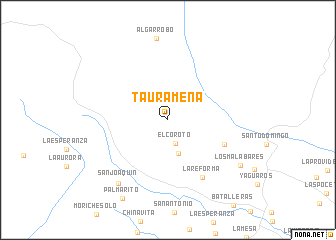
Tauramena (Departamento de Casanare, Colombia)Tauramena is a town in the Departamento de Casanare region of Colombia. An overview map of the region around Tauramena is displayed below.
regional and 3d topo map of Tauramena, Colombia ::
Tauramena airports ::
The nearest airport is VVC - Villavicencio Vanguardia, located 133.9 km south west of Tauramena.
Other airports nearby include BOG - Bogota Eldorado Intl (158.3 km west), TME - Tame (193.0 km north east), OTU - Otu (309.2 km north west), Nearby towns ::
El Coroto (2.7km south) //
La Dorada (3.9km south) //
El Tesoro (6.9km south east) //
La Reforma (7.5km south east) //
San Joaquín (8.9km south west) //
Los Malabares (9.5km south east) //
Palmarito (10.1km south west) //
[all distances 'as the bird flies' and approximate] 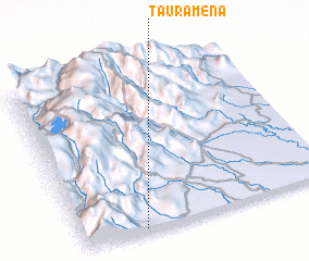 Places with similar names to Tauramena, Colombia ::
Disclaimer :: Information on this page comes without warranty of any kind |
||
|
Where is Tauramena? Elevation and coordinates ::
Latitude (lat): 5°1'7"N Longitude (lon): 72°45'19"W
Elevation (approx.): 471m (map arrows pan, magnifying glasses zoom) |
||
|
Visiting Tauramena? Hotel/Accommodation ::
Book a hotel in Tauramena Travel Guide ::
Buy a travel guide for Colombia rental cars ::
car rental offers GPS waypoint ::
download a GPX waypoint (PoI) of Tauramena for your GPS receiver
|
||