|
search place name
|
||
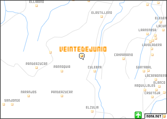
Veinte de Junio (Norte de Santander, Colombia)Veinte de Junio is a town in the Norte de Santander region of Colombia. An overview map of the region around Veinte de Junio is displayed below.
regional and 3d topo map of Veinte de Junio, Colombia ::
Veinte de Junio airports ::
The nearest airport is CUC - Cucuta Camilo Daza, located 17.5 km south east of Veinte de Junio.
Other airports nearby include SVZ - San Antonio Del Tachira (29.9 km south east), LFR - La Fria (44.5 km north east), STD - Santo Domingo Mayor Buenaventura Vivas (83.4 km south east), OCV - Ocana Aguas Claras (86.6 km west), Nearby towns ::
Culebra (3.6km south east) //
Parroquia (5.5km south west) //
Campo Alicia (7.5km west) //
Pan de Azúcar (9.5km south west) //
[all distances 'as the bird flies' and approximate] 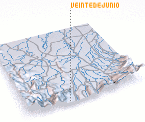 Places with similar names to Veinte de Junio, Colombia :: Disclaimer :: Information on this page comes without warranty of any kind |
||
|
Where is Veinte de Junio? Elevation and coordinates ::
Latitude (lat): 8°2'26"N Longitude (lon): 72°37'21"W
Elevation (approx.): 243m (map arrows pan, magnifying glasses zoom) |
||
|
Visiting Veinte de Junio? Hotel/Accommodation ::
Book a hotel in Veinte de Junio Travel Guide ::
Buy a travel guide for Colombia rental cars ::
car rental offers GPS waypoint ::
download a GPX waypoint (PoI) of Veinte de Junio for your GPS receiver
|
||