|
search place name
|
||
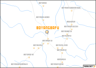
Boyangbafu (Congo, Democratic Republic of the)Boyangbafu is a town in Congo, Democratic Republic of the. An overview map of the region around Boyangbafu is displayed below.
regional and 3d topo map of Boyangbafu, Congo, Democratic Republic of the ::
Boyangbafu airports ::
The nearest airport is BDT - Gbadolite, located 88.4 km north east of Boyangbafu.
Other airports nearby include GMA - Gemena (92.1 km south west), LIQ - Lisala (192.0 km south east), BGF - Bangui M Poko (238.8 km west), Nearby towns ::
Boyawuku III (1.9km south) //
Boyawuku II (1.9km south) //
Bobutu (1.9km south) //
Boyawuku I (3.7km south) //
Boyawolosen (3.7km south) //
Bodugbu (4.1km south west) //
Boyangawao (4.1km south west) //
Boyasegwebe I (5.9km north) //
Boyagati (6.7km south east) //
Boyakindi (6.7km south west) //
Boyagbazu (7.4km east) //
Boyagbolongona (7.6km east) //
Boyazamo (7.6km east) //
Boyagbayola (7.9km south west) //
Boyagebo (7.9km south west) //
Boyazelemo (7.9km south east) //
Boyabenzo (7.9km south east) //
Bomasi (7.9km south east) //
Bayagaka (9.3km south east) //
[all distances 'as the bird flies' and approximate] 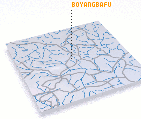 Places with similar names to Boyangbafu, Congo, Democratic Republic of the :: Disclaimer :: Information on this page comes without warranty of any kind |
||
|
Where is Boyangbafu? Elevation and coordinates ::
Latitude (lat): 3°36'0"N Longitude (lon): 20°31'0"E
Elevation (approx.): 443m (map arrows pan, magnifying glasses zoom) |
||
|
Visiting Boyangbafu? Hotel/Accommodation ::
Book a hotel in Boyangbafu Travel Guide ::
rental cars ::
car rental offers GPS waypoint ::
download a GPX waypoint (PoI) of Boyangbafu for your GPS receiver
|
||