|
search place name
|
||
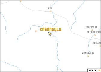
Kasangulu (Congo, Democratic Republic of the)Kasangulu is a town in Congo, Democratic Republic of the. An overview map of the region around Kasangulu is displayed below.
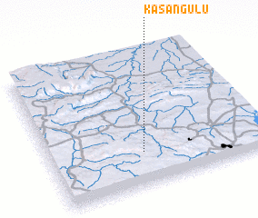
regional and 3d topo map of Kasangulu, Congo, Democratic Republic of the ::
Kasangulu airports ::
The nearest airport is KWZ - Kolwezi, located 101.5 km west of Kasangulu.
Other airports nearby include FBM - Lubumashi Lubumbashi Intl (151.8 km south east), Nearby towns ::
 Places with similar names to Kasangulu, Congo, Democratic Republic of the ::
// Casa Nagli (IT)
// Kazançlı (TR)
// Kazankol (RU)
// Kusangal (BD)
// Guessangolo (TD)
// Casangal (CO)
// Kasangala (CD)
// Kasangula (CD)
// Kasangulu (CD)
// Kasonguela (CD)
Disclaimer :: Information on this page comes without warranty of any kind |
||
|
Where is Kasangulu? Elevation and coordinates ::
Latitude (lat): 10°45'0"S Longitude (lon): 26°26'0"E
Elevation (approx.): 1214m (map arrows pan, magnifying glasses zoom) |
||
|
Visiting Kasangulu? Hotel/Accommodation ::
Book a hotel in Kasangulu Travel Guide ::
rental cars ::
car rental offers GPS waypoint ::
download a GPX waypoint (PoI) of Kasangulu for your GPS receiver
|
||