|
search place name
|
||
Mutangala (Congo, Democratic Republic of the)Mutangala is a town in Congo, Democratic Republic of the. An overview map of the region around Mutangala is displayed below.
regional and 3d topo map of Mutangala, Congo, Democratic Republic of the ::

Mutangala airports ::
The nearest airport is KND - Kindu, located 200.1 km north west of Mutangala.
Other airports nearby include KME - Kamembe (305.4 km north east), Nearby towns ::
Kanana (3.7km west) //
Lasiri-Gima (5.9km south) //
Zinga (5.9km north) //
Fariala (9.3km north east) //
[all distances 'as the bird flies' and approximate] 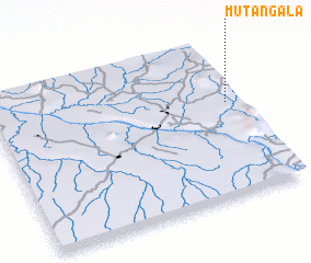 Places with similar names to Mutangala, Congo, Democratic Republic of the ::
// Modonkul' (RU)
// Mattingly (US)
// Matungulu (CD)
// Matungulu (CD)
// Matungulu (CD)
// Madnakal (IN)
// Medenikalla (LK)
// Médina Kel (SN)
// Médina Koli (SN)
// Matān Kolā (IR)
Disclaimer :: Information on this page comes without warranty of any kind |
||
|
Where is Mutangala? Elevation and coordinates ::
Latitude (lat): 4°24'0"S Longitude (lon): 26°57'0"E
Elevation (approx.): 600m (map arrows pan, magnifying glasses zoom) |
||
|
Visiting Mutangala? Hotel/Accommodation ::
Book a hotel in Mutangala Travel Guide ::
rental cars ::
car rental offers GPS waypoint ::
download a GPX waypoint (PoI) of Mutangala for your GPS receiver
|
||