|
search place name
|
||
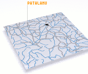
Patalamu (Congo, Democratic Republic of the)Patalamu is a town in Congo, Democratic Republic of the. An overview map of the region around Patalamu is displayed below.
regional and 3d topo map of Patalamu, Congo, Democratic Republic of the ::

Patalamu airports ::
The nearest airport is IRP - Isiro Matari, located 25.9 km east of Patalamu.
Nearby towns ::
 Places with similar names to Patalamu, Congo, Democratic Republic of the ::
// Pé de Lima (BR)
// Piedilama (IT)
// Patalom (HU)
// Padālam (IN)
// Pitlam (IN)
// Patelma (MX)
// Puttalam (LK)
// Pata Laime (PE)
// Pod Dielom (SK)
// Pod Dulom (CS)
Disclaimer :: Information on this page comes without warranty of any kind |
||
|
Where is Patalamu? Elevation and coordinates ::
Latitude (lat): 2°54'0"N Longitude (lon): 27°22'0"E
Elevation (approx.): 733m (map arrows pan, magnifying glasses zoom) |
||
|
Visiting Patalamu? Hotel/Accommodation ::
Book a hotel in Patalamu Travel Guide ::
rental cars ::
car rental offers GPS waypoint ::
download a GPX waypoint (PoI) of Patalamu for your GPS receiver
|
||