|
search place name
|
||
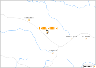
Tanganika (Congo, Democratic Republic of the)Tanganika is a town in Congo, Democratic Republic of the. An overview map of the region around Tanganika is displayed below.
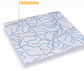
regional and 3d topo map of Tanganika, Congo, Democratic Republic of the ::
Tanganika airports ::
The nearest airport is KWZ - Kolwezi, located 101.4 km north west of Tanganika.
Other airports nearby include FBM - Lubumashi Lubumbashi Intl (158.4 km east), Nearby towns ::
 Places with similar names to Tanganika, Congo, Democratic Republic of the ::
// Tingunak (RU)
// Duangniog (PH)
// Dunguang (PH)
// Tangaing (MM)
// Ta-ngun Ga (MM)
// Taunggaing (MM)
// Taunggaing (MM)
// Taunggaung (MM)
// Taunggaing (MM)
// Taunggaing (MM)
Disclaimer :: Information on this page comes without warranty of any kind |
||
|
Where is Tanganika? Elevation and coordinates ::
Latitude (lat): 11°29'0"S Longitude (lon): 26°5'0"E
Elevation (approx.): 1487m (map arrows pan, magnifying glasses zoom) |
||
|
Visiting Tanganika? Hotel/Accommodation ::
Book a hotel in Tanganika Travel Guide ::
rental cars ::
car rental offers GPS waypoint ::
download a GPX waypoint (PoI) of Tanganika for your GPS receiver
|
||