|
search place name
|
||
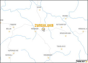
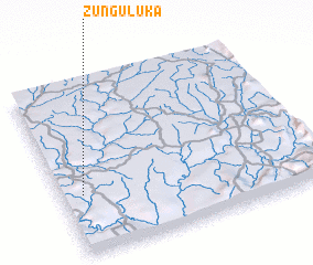
Zunguluka (Congo, Democratic Republic of the)Zunguluka is a town in Congo, Democratic Republic of the. An overview map of the region around Zunguluka is displayed below.
regional and 3d topo map of Zunguluka, Congo, Democratic Republic of the ::
Zunguluka airports ::
The nearest airport is BUX - Bunia, located 128.8 km east of Zunguluka.
Other airports nearby include IRP - Isiro Matari (233.1 km north west), Nearby towns ::
 Places with similar names to Zunguluka, Congo, Democratic Republic of the ::
// Sanglik (MM)
// Zanglaíika (GR)
// Sangaloka (MG)
// Songo Lock (US)
// Zankolaga (BF)
// Zunguluka (CD)
// Sangolquí (EC)
// Sungailiku (ID)
// Sungai Ulak (ID)
// Sungaiulak (ID)
Disclaimer :: Information on this page comes without warranty of any kind |
||
|
Where is Zunguluka? Elevation and coordinates ::
Latitude (lat): 1°21'0"N Longitude (lon): 29°5'0"E
Elevation (approx.): 893m (map arrows pan, magnifying glasses zoom) |
||
|
Visiting Zunguluka? Hotel/Accommodation ::
Book a hotel in Zunguluka Travel Guide ::
rental cars ::
car rental offers GPS waypoint ::
download a GPX waypoint (PoI) of Zunguluka for your GPS receiver
|
||