|
search place name
|
||
Moulamba I (Niari, Congo, Republic of the)Moulamba I is a town in the Niari region of Congo, Republic of the. An overview map of the region around Moulamba I is displayed below.
regional and 3d topo map of Moulamba I, Congo, Republic of the ::

Moulamba I airports ::
The nearest airport is MVB - Franceville Mvengue, located 159.4 km north east of Moulamba I.
Other airports nearby include PNR - Pointe-noire Pointe Noire (231.8 km south), Nearby towns ::
Marala (0.9km south east) //
Moulamba II (1.6km north west) //
Oubouéssé (2.1km north west) //
Masangou I (3.9km north) //
Nianga (4.0km south east) //
Dibangou (4.8km south west) //
Lisandja (5.5km north) //
Masangou II (6.2km north) //
Mounou (6.9km south east) //
Ngono (7.0km south) //
Boungoto (7.2km south) //
Mabanga (7.2km west) //
Mouvendzé (7.4km south east) //
Popo (7.8km south west) //
Matoto (7.9km north) //
Nianga (8.3km south) //
Moutébé (8.9km north) //
Yombo (9.2km south east) //
Moudiengila (10.1km south west) //
Moutsiegé (10.1km north west) //
Mossendjo (10.8km south east) //
[all distances 'as the bird flies' and approximate] 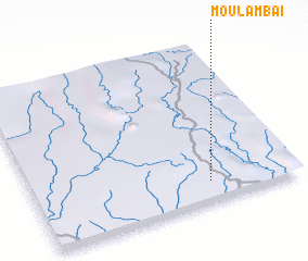 Places with similar names to Moulamba I, Congo, Republic of the ::
Disclaimer :: Information on this page comes without warranty of any kind |
||
|
Where is Moulamba I? Elevation and coordinates ::
Latitude (lat): 2°52'22"S Longitude (lon): 12°40'7"E
Elevation (approx.): 471m (map arrows pan, magnifying glasses zoom) |
||
|
Visiting Moulamba I? Hotel/Accommodation ::
Book a hotel in Moulamba I Travel Guide ::
rental cars ::
car rental offers GPS waypoint ::
download a GPX waypoint (PoI) of Moulamba I for your GPS receiver
|
||