|
search place name
|
||
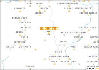
Guanazán (El Oro, Ecuador)Guanazán is a town in the El Oro region of Ecuador. An overview map of the region around Guanazán is displayed below.
regional and 3d topo map of Guanazán, Ecuador ::
Guanazán airports ::
The nearest airport is MCH - Machala General Manuel Serrano, located 55.1 km west of Guanazán.
Other airports nearby include CUE - Cuenca Mariscal Lamar (84.4 km north east), TBP - Tumbes Pedro Canga (98.6 km west), GYE - Guayaquil Jose Joaquin De Olmedo Intl (149.2 km north), XMS - Macas Coronel E Carvajal (199.3 km north east), Nearby towns ::
Cuarteguro (2.6km south west) //
Rumiurcu (5.2km south east) //
Cushcapa (5.5km east) //
Sequer (6.7km south east) //
Rumicorral (7.6km south) //
Shatapali (7.9km south west) //
Salapa (8.3km south east) //
Daligshi (8.3km north west) //
[all distances 'as the bird flies' and approximate] 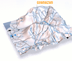 Places with similar names to Guanazán, Ecuador ::
Disclaimer :: Information on this page comes without warranty of any kind |
||
|
Where is Guanazán? Elevation and coordinates ::
Latitude (lat): 3°27'0"S Longitude (lon): 79°30'0"W
Elevation (approx.): 2860m (map arrows pan, magnifying glasses zoom) |
||
|
Visiting Guanazán? Hotel/Accommodation ::
Book a hotel in Guanazán Travel Guide ::
Buy a travel guide for Ecuador rental cars ::
car rental offers GPS waypoint ::
download a GPX waypoint (PoI) of Guanazán for your GPS receiver
|
||