|
search place name
|
||
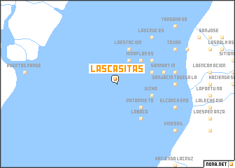
Las Casitas (Guayas, Ecuador)Las Casitas is a town in the Guayas region of Ecuador. An overview map of the region around Las Casitas is displayed below.
regional and 3d topo map of Las Casitas, Ecuador ::
Las Casitas airports ::
The nearest airport is MCH - Machala General Manuel Serrano, located 33.4 km south of Las Casitas.
Other airports nearby include TBP - Tumbes Pedro Canga (80.6 km south west), GYE - Guayaquil Jose Joaquin De Olmedo Intl (89.8 km north), CUE - Cuenca Mariscal Lamar (107.7 km east), SNC - Salinas General Ulpiano Paez (143.0 km north west), Nearby towns ::
Corralito (4.1km north east) //
Pato Prieto (5.2km south east) //
Miraflores (5.2km north east) //
Dizha (5.9km east) //
El Carmelo (5.9km east) //
La Estación (5.9km north) //
La Boca (6.7km south east) //
Hacienda Victoria (6.7km north east) //
San Martín (7.6km east) //
Las Cruces (9.3km north east) //
[all distances 'as the bird flies' and approximate] 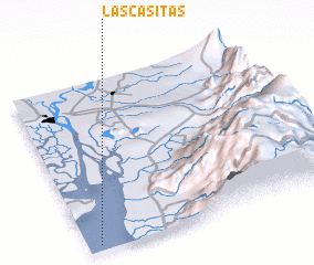 Places with similar names to Las Casitas, Ecuador ::
// Las Cuestas (PA)
// Las Cuestas (PA)
// Las Cuestas (PA)
// Las Casitas (CU)
// Las Casitas (ES)
// Las Cuestas (ES)
// Las Casitas (CO)
// Las Casitas (CO)
// Las Casitas (CO)
// Las Casitas (CO)
Disclaimer :: Information on this page comes without warranty of any kind |
||
|
Where is Las Casitas? Elevation and coordinates ::
Latitude (lat): 2°58'0"S Longitude (lon): 79°57'0"W
Elevation (approx.): -32768m (map arrows pan, magnifying glasses zoom) |
||
|
Visiting Las Casitas? Hotel/Accommodation ::
Book a hotel in Las Casitas Travel Guide ::
Buy a travel guide for Ecuador rental cars ::
car rental offers GPS waypoint ::
download a GPX waypoint (PoI) of Las Casitas for your GPS receiver
|
||