|
search place name
|
||
Río Tigre (Pastaza, Ecuador)Río Tigre is a town in the Pastaza region of Ecuador. An overview map of the region around Río Tigre is displayed below.
regional and 3d topo map of Río Tigre, Ecuador ::

Río Tigre airports ::
The nearest airport is OCC - Coca Francisco De Orellana, located 209.6 km north west of Río Tigre.
Other airports nearby include TPC - Tarapoa (222.5 km north), Nearby towns ::
Puesto Cunambo (3.7km east) //
Bartra Nuevo (4.1km north east) //
[all distances 'as the bird flies' and approximate] 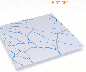 Places with similar names to Río Tigre, Ecuador ::
// Radiquero (ES)
// Rudaguera (ES)
// Rāutgāri (BD)
// Ratkarawwa (LK)
// Rutukira (TZ)
// Ratgarh (PK)
// Rodukoru (PK)
// Río de Guirria (VE)
// Río Tigre (PA)
// Ratigora (RU)
Disclaimer :: Information on this page comes without warranty of any kind |
||
|
Where is Río Tigre? Elevation and coordinates ::
Latitude (lat): 2°7'0"S Longitude (lon): 76°4'0"W
Elevation (approx.): 184m (map arrows pan, magnifying glasses zoom) |
||
|
Visiting Río Tigre? Hotel/Accommodation ::
Book a hotel in Río Tigre Travel Guide ::
Buy a travel guide for Ecuador rental cars ::
car rental offers GPS waypoint ::
download a GPX waypoint (PoI) of Río Tigre for your GPS receiver
|
||