|
search place name
|
||
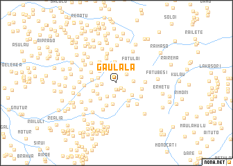
Gaulala (Timor Timur, East Timor)Gaulala is a town in the Timor Timur region of East Timor. An overview map of the region around Gaulala is displayed below.
regional and 3d topo map of Gaulala, East Timor ::
Gaulala airports ::
The nearest airport is DIL - Dili Presidente Nicolau Lobato Intl, located 31.1 km north of Gaulala.
Nearby towns ::
Manusae (1.1km south) //
Laclo (1.1km south east) //
Sabelu (1.1km south) //
Lebululi (1.6km south east) //
Leobudu (2.1km south) //
Likisala (2.1km north east) //
Kailiti (2.4km west) //
Manama (2.5km north) //
Rotutu (2.6km south west) //
Olopana (2.7km east) //
Raipusa (3.0km west) //
Haupu (3.2km west) //
Assuileten (3.2km south east) //
Goulolo (3.3km north west) //
Lakau (3.4km south east) //
Rairema (3.4km south) //
Madede (3.4km north) //
Letefoho (3.5km south west) //
Raicala (3.6km north west) //
Kairia (3.6km south west) //
Hatomotei (3.6km north west) //
Fatulai (3.8km north east) //
Betorema (3.9km west) //
Duhoho (4.0km west) //
Riatoni (4.0km south west) //
Asuikraik (4.1km south east) //
Leotelon (4.1km north west) //
Saharaitaurema (4.1km east) //
Kaibui (4.3km north) //
[all distances 'as the bird flies' and approximate] 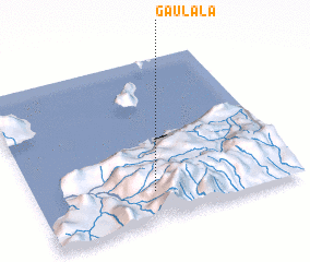 Places with similar names to Gaulala, East Timor ::
Disclaimer :: Information on this page comes without warranty of any kind |
||
|
Where is Gaulala? Elevation and coordinates ::
Latitude (lat): 8°49'8"S Longitude (lon): 125°27'14"E
Elevation (approx.): 1426m (map arrows pan, magnifying glasses zoom) |
||
|
Visiting Gaulala? Hotel/Accommodation ::
Book a hotel in Gaulala Travel Guide ::
Buy a travel guide for East Timor rental cars ::
car rental offers GPS waypoint ::
download a GPX waypoint (PoI) of Gaulala for your GPS receiver
|
||