|
search place name
|
||
Leohat (Timor Timur, East Timor)Leohat is a town in the Timor Timur region of East Timor. An overview map of the region around Leohat is displayed below.
regional and 3d topo map of Leohat, East Timor ::

Leohat airports ::
The nearest airport is DIL - Dili Presidente Nicolau Lobato Intl, located 58.2 km north west of Leohat.
Nearby towns ::
Malushum (0.3km north east) //
Dauroloc (0.7km north) //
Umacuarec (0.8km north west) //
Sasahi (1.0km north west) //
Manlala (1.0km north) //
Soibada (1.0km north west) //
Lehutula (1.1km north) //
Hisuata (1.2km north west) //
Manufahe (4.7km north west) //
Teras (5.0km north west) //
Pualaca (5.7km north) //
Manehat (5.7km south east) //
Dambohum (5.8km south east) //
Fatobalon (6.0km south east) //
Nuahuc (6.1km south east) //
Lakenu (7.0km north) //
Amanun (7.3km north) //
Lafulau (7.6km north) //
Hatomanuc (8.5km north) //
[all distances 'as the bird flies' and approximate] 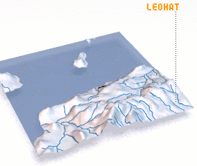 Places with similar names to Leohat, East Timor ::
Disclaimer :: Information on this page comes without warranty of any kind |
||
|
Where is Leohat? Elevation and coordinates ::
Latitude (lat): 8°52'3"S Longitude (lon): 125°56'36"E
Elevation (approx.): 518m (map arrows pan, magnifying glasses zoom) |
||
|
Visiting Leohat? Hotel/Accommodation ::
Book a hotel in Leohat Travel Guide ::
Buy a travel guide for East Timor rental cars ::
car rental offers GPS waypoint ::
download a GPX waypoint (PoI) of Leohat for your GPS receiver
|
||