|
search place name
|
||
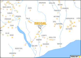
Nagidal (Timor Timur, East Timor)Nagidal is a town in the Timor Timur region of East Timor. An overview map of the region around Nagidal is displayed below.
regional and 3d topo map of Nagidal, East Timor ::
Nagidal airports ::
The nearest airport is DIL - Dili Presidente Nicolau Lobato Intl, located 66.5 km north of Nagidal.
Nearby towns ::
Lepokanua (0.4km south) //
Salasa (0.7km north) //
Mape (1.3km south west) //
Zulokota (1.4km south west) //
Zumalai (1.7km south west) //
Dilukede (2.4km south west) //
Zobete (2.6km south west) //
Maliseran (2.9km south west) //
Fatukao (3.3km south) //
Raifila (3.9km south) //
Karetamute (4.3km south west) //
Leonti (4.3km south east) //
Obugmil (5.1km south west) //
Loegolo (5.3km north west) //
Harekain (5.4km south east) //
Lale (5.9km north west) //
Audian (6.0km south) //
Holgeda (6.1km south west) //
Zulotos (6.3km north west) //
Holitol (6.4km south east) //
Beilako A (6.5km south east) //
Arcos (6.5km east) //
Zulo (6.7km north west) //
Belako B (6.8km south east) //
Oerbora (6.8km south east) //
Oerbora (6.9km south east) //
Galitas (6.9km south west) //
Oerbora (6.9km south east) //
Unil (6.9km east) //
[all distances 'as the bird flies' and approximate] 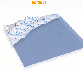 Places with similar names to Nagidal, East Timor ::
// Naij Tal (CN)
Disclaimer :: Information on this page comes without warranty of any kind |
||
|
Where is Nagidal? Elevation and coordinates ::
Latitude (lat): 9°8'40"S Longitude (lon): 125°27'32"E
Elevation (approx.): 129m (map arrows pan, magnifying glasses zoom) |
||
|
Visiting Nagidal? Hotel/Accommodation ::
Book a hotel in Nagidal Travel Guide ::
Buy a travel guide for East Timor rental cars ::
car rental offers GPS waypoint ::
download a GPX waypoint (PoI) of Nagidal for your GPS receiver
|
||