|
search place name
|
||
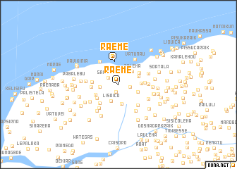
Raeme (Timor Timur, East Timor)Raeme is a town in the Timor Timur region of East Timor. An overview map of the region around Raeme is displayed below.
regional and 3d topo map of Raeme, East Timor ::
Raeme airports ::
The nearest airport is DIL - Dili Presidente Nicolau Lobato Intl, located 30.3 km east of Raeme.
Nearby towns ::
Watubau (1.2km south) //
Hatunau (1.8km east) //
Samanaro (1.9km north west) //
Lisaico (2.9km south west) //
Samanaro (2.9km west) //
Tolema (3.0km north east) //
Manucibia (3.1km south) //
Lauclau (3.3km east) //
Hataulete (3.4km east) //
Vitanau (3.5km east) //
Raeme (3.7km north) //
Katnaulete (3.7km north east) //
Bourawei (3.9km south west) //
Melabua (4.0km south west) //
Manuquibia (4.1km south west) //
Nunuhou (4.1km east) //
Lebulema (4.2km west) //
Lisalara (4.3km west) //
Gariana (4.5km south east) //
Samanaro (4.6km north west) //
Vatunau (4.7km north east) //
Tautalo (4.7km east) //
Lebuhae (4.8km south west) //
Leva (5.0km south east) //
Laklolema (5.0km east) //
Kemipu (5.1km west) //
Tolema (5.2km south east) //
Darolema (5.3km south west) //
Caidico (5.3km east) //
[all distances 'as the bird flies' and approximate] 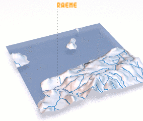 Places with similar names to Raeme, East Timor ::
Disclaimer :: Information on this page comes without warranty of any kind |
||
|
Where is Raeme? Elevation and coordinates ::
Latitude (lat): 8°38'22"S Longitude (lon): 125°15'57"E
Elevation (approx.): 646m (map arrows pan, magnifying glasses zoom) |
||
|
Visiting Raeme? Hotel/Accommodation ::
Book a hotel in Raeme Travel Guide ::
Buy a travel guide for East Timor rental cars ::
car rental offers GPS waypoint ::
download a GPX waypoint (PoI) of Raeme for your GPS receiver
|
||