|
search place name
|
||
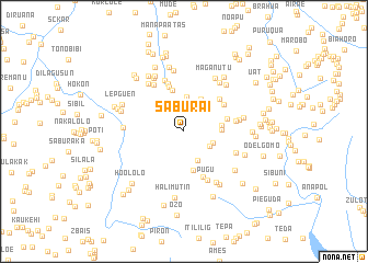
Saburai (Timor Timur, East Timor)Saburai is a town in the Timor Timur region of East Timor. An overview map of the region around Saburai is displayed below.
regional and 3d topo map of Saburai, East Timor ::
Saburai airports ::
The nearest airport is DIL - Dili Presidente Nicolau Lobato Intl, located 62.5 km north east of Saburai.
Nearby towns ::
Tapo (3.0km south east) //
Mologuenglama (3.2km east) //
Oepo (3.3km south east) //
Raedolen (3.5km north) //
Galusapulu (3.7km north east) //
Nelgen (3.8km east) //
Tasmil (3.9km east) //
Bucuk (4.1km south) //
Lesuboten (4.3km north) //
Holgen (4.5km east) //
Lesubotang (4.8km north) //
Anahon (4.8km north east) //
Lakatil (4.9km north east) //
Jimelai (5.0km south) //
Lahomea (5.2km north) //
Oeleu (5.4km east) //
Pugu (5.5km south east) //
Haubai (5.6km north) //
Oplegul (5.6km north west) //
Laho (5.6km south east) //
Mologueng (5.7km east) //
Rokon (6.1km north west) //
Tawalolo (6.1km south east) //
Nunutana (6.1km north east) //
Maliana (6.2km north west) //
Simugol (6.1km west) //
Atulaun (6.1km east) //
Maganutu (6.2km north east) //
Maahui (6.3km north) //
[all distances 'as the bird flies' and approximate] 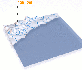 Places with similar names to Saburai, East Timor ::
Disclaimer :: Information on this page comes without warranty of any kind |
||
|
Where is Saburai? Elevation and coordinates ::
Latitude (lat): 9°2'24"S Longitude (lon): 125°14'50"E
Elevation (approx.): 1173m (map arrows pan, magnifying glasses zoom) |
||
|
Visiting Saburai? Hotel/Accommodation ::
Book a hotel in Saburai Travel Guide ::
Buy a travel guide for East Timor rental cars ::
car rental offers GPS waypoint ::
download a GPX waypoint (PoI) of Saburai for your GPS receiver
|
||